Chakrata
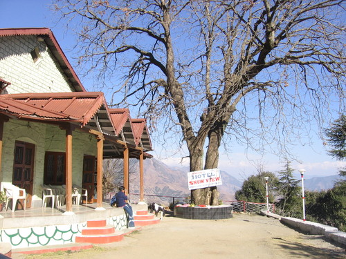
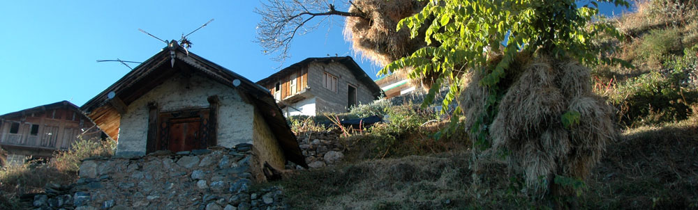
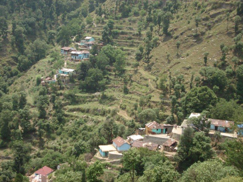
''Renowned as a picturesque picnic spot, Chakrata in Dehradun District of Uttaranchal State of India is a hill station and a famed tourist destination located at an altitude of about 7000 ft above the sea level. The town was known earlier as Jaunsar bawar, a small hamlet of Jaunsari tribe.
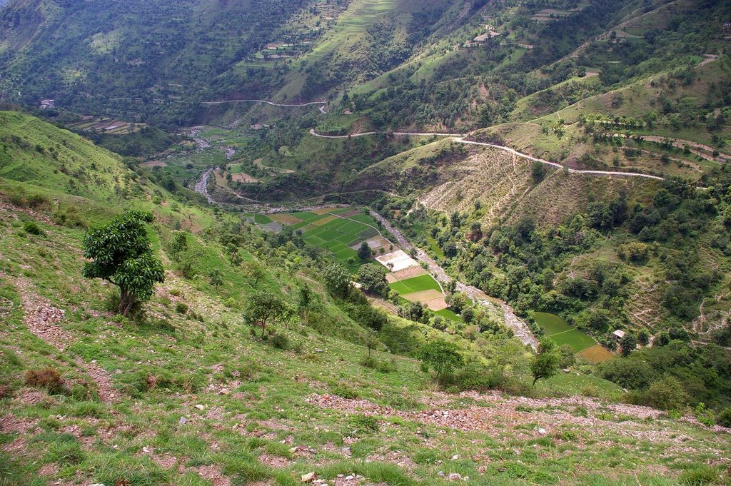
Yamuna valley is located down the hilly town and the panoramic view of the surroundings from the hillock is astonishing. Chakrata was developed by the British rulers and was a summer retreat for the high executives of English East India Company.
''
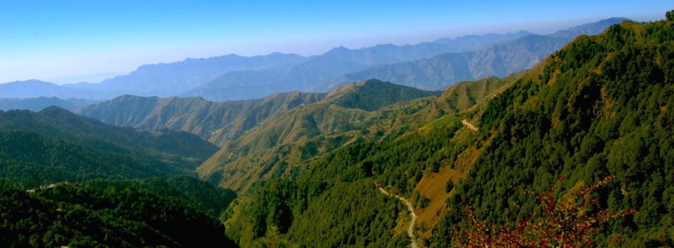
Thriving by the lush greeneries with dense forests all around, Chakrata is famed as a tourist destination to spend vacations merging with the Mother Nature’s grandeur gift. Cool but pleasant ambience makes the stay in Chakrata more enjoyable. The northern sloppy regions of Chakrata are ideal for trekking and skiing.
Kharamba peak is the highest mount in Chakrata with an altitude of about 10,000 ft. The mount climbing here is wonderfully an adventurous task. Nature lovers, Trekkers, bird watchers and wild life enthusiasts can spend days together here in the lap of Chakrata exploiting the nature’s hidden treasures and beauties.
BEST TIME TO VISIT
Best season to visit Chakrata is all through the year, may keep off freezing days in January and February.
PLACES AROUND CHAKRATA
Chilmiri Neck - Chilmiri Neck is the peak point in Chakrata where the mess and quarters of military cantonment are located. The view of the scenic verdant land and dense forests from Chilmiri Neck leave an unforgettable impact.
Kalsi - Ashoka Pillar Rock Edict built in 450 B.C. at Kalsi represents the post-warfare era when king Ashoka converted himself to the Buddhist faith. The edicts ever aimed at the moral elevation of his people.
Tiger Falls - Tiger falls is the main attraction in Chakrata - 20 kms from Chakrata. This mesmerising waterfall can be reached by an easy 5km trek with rhododendron and oak trees everywhere.
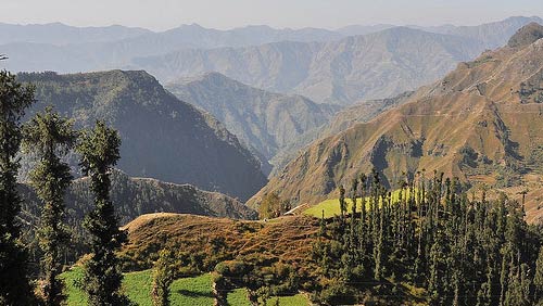
Deoban (Devban) - Situated 16kms from Chakrata, Deoban is located in the hilly terrains of Chakrata covering the elevation from 2,200mts to 3,025mts above sea level. Deoban is the perfect spot in Chakrata from where you can see the captivating and eye feasting views of the enchanting Himalayan range.
Ramtal - It is a beautiful horticulture garden 10 km away on the Mussoorie road having apple gardens and a natural pond.
Kanasar - 28 K.M. from Chakrata. A forest of deodar or pine. The deodar trees here said to have the largest trunk in Asia.
CLIMATE
Chakrata is renowned for freezing temperatures during winters and pleasant climate during summers.
HOW TO REACH THERE
Air: Jolly Grant Airport is the nearest Airport to Chakrata. It is situated 113kms from Chakrata. Taxis are easily available from Jolly Grant Airport to Chakrata.
Rail: The nearest railway station to Chakrata is situated in Dehradun. The distance from Dehradun to Chakrata is 87kms. Taxis and buses are easily available from Dehradun to Chakrata.
Road: Chakrata is well connected with motorable roads. Luxury and normal Buses to Mussoorie, Dehradun and Chakrata are available from ISBT Kashmiri Gate, New Delhi.
City Facts
State: Uttarakhand
District: Dehradun
Famous for/as: Hill Station
Languages: Hindi, English
Best Season: Apr - Jun, Sep - Nov
Weather: Summer 10 to 30°C, Winter -5 to 15°C
Altitude: 2118 m
Pincode: 248123
STD code: 01360
Distance Charts to Chakrata
Chandigarh to Chakrata
189 KM
Shimla Manali to Chakrata
304 KM
Nagpur to Chakrata
1397 KM
Mumbai to Chakrata
1712 KM
CHAKRATA PHOTO GALLERY
Chakrata
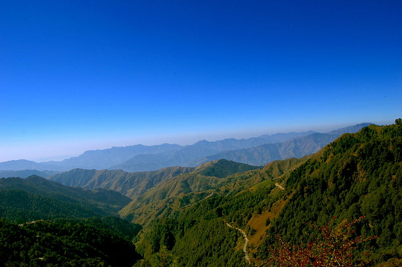
Chakrata valley
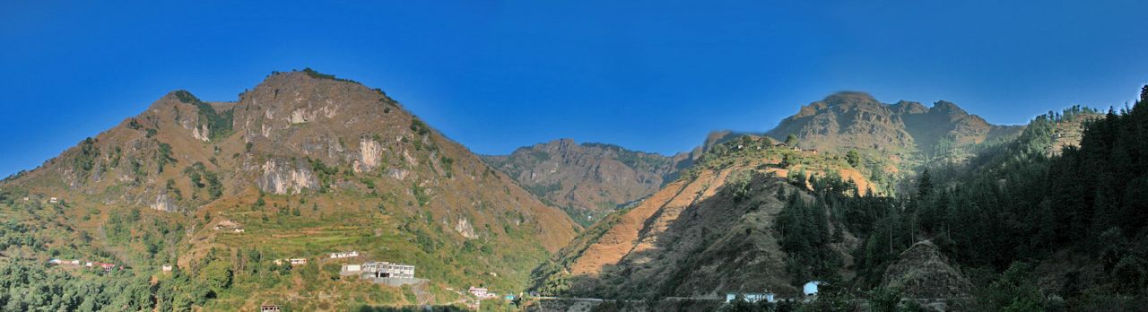
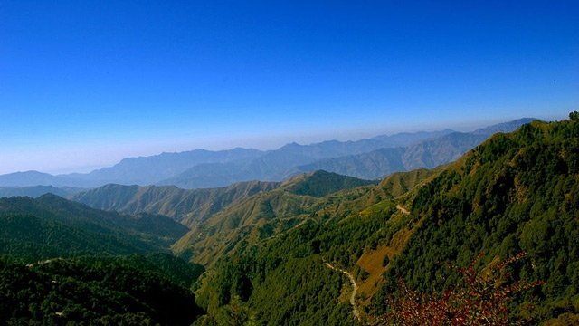
Chakrata panorama
Chakrata dehradun
Chakrata
Chakrata
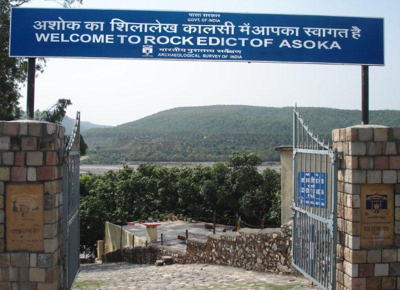
Kalsi
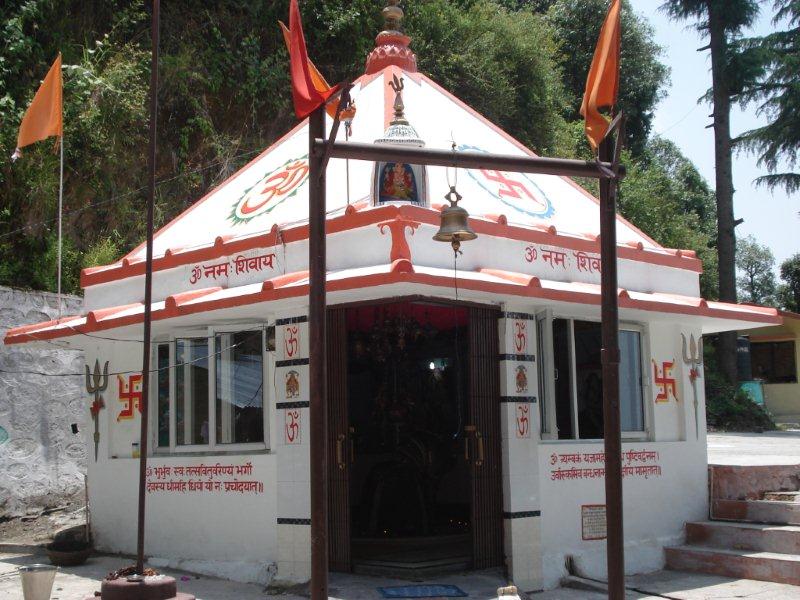
Chinta haran mahadev
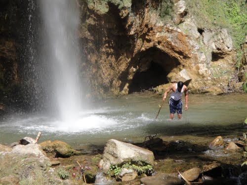
tiger fall
Chakrat beautiful view